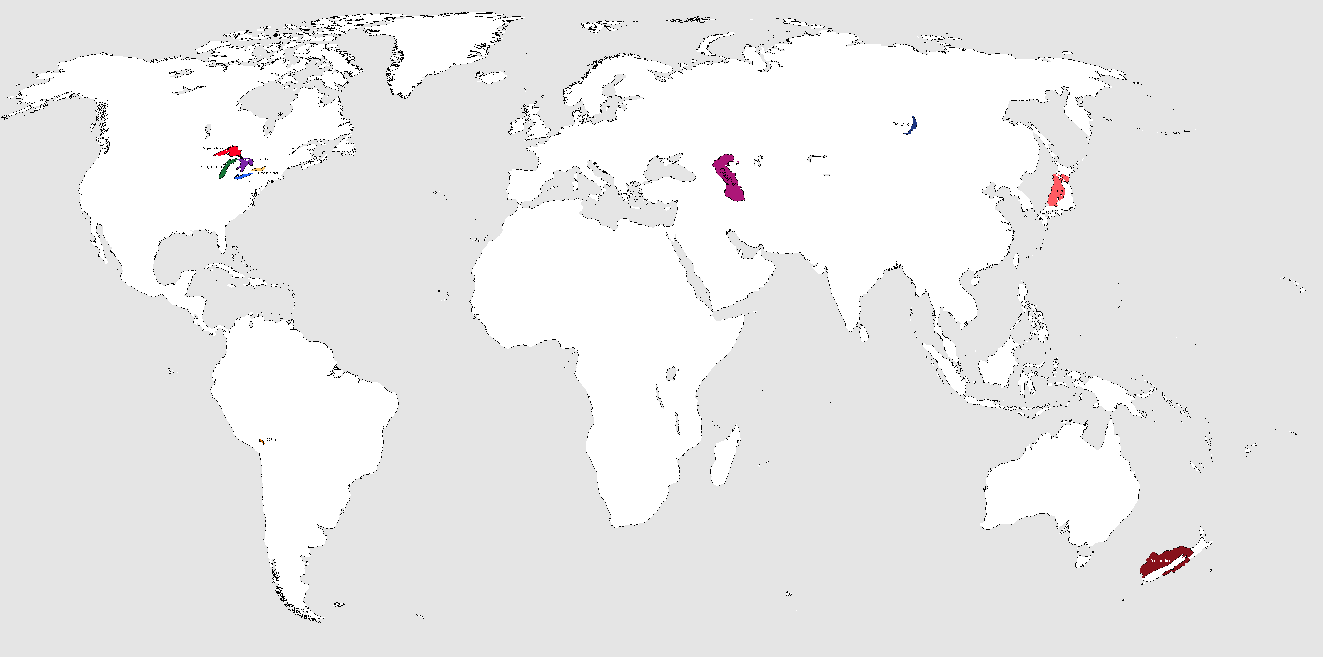
File:Inverted world map with ALL KNOWN COUNTRIES.png
Jump to navigation
Jump to search
Size of this preview: 800 × 397 pixels. Other resolutions: 2,560 × 1,271 pixels | 4,500 × 2,234 pixels.
Original file (4,500 × 2,234 pixels, file size: 153 KB, MIME type: image/png)
Summary
i think it'd be easier to plot countries down on a map as to prevent any overlapping territory :3c
File history
Click on a date/time to view the file as it appeared at that time.
| Date/Time | Thumbnail | Dimensions | User | Comment | |
|---|---|---|---|---|---|
| current | 18:36, 4 February 2023 | | 4,500 × 2,234 (153 KB) | Jurta (talk | contribs) | |
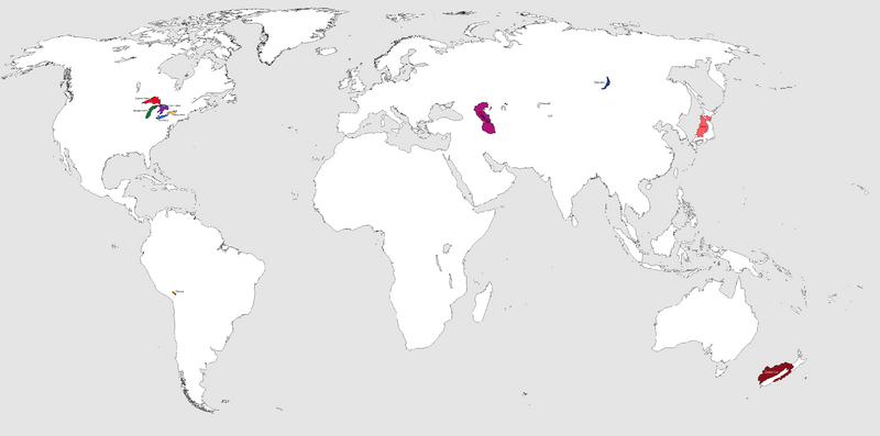
| 17:54, 4 February 2023 |  | 4,500 × 2,234 (152 KB) | Jurta (talk | contribs) | ||
| 17:53, 4 February 2023 |  | 4,500 × 2,234 (99 KB) | Jurta (talk | contribs) | ||
| 16:28, 4 February 2023 | 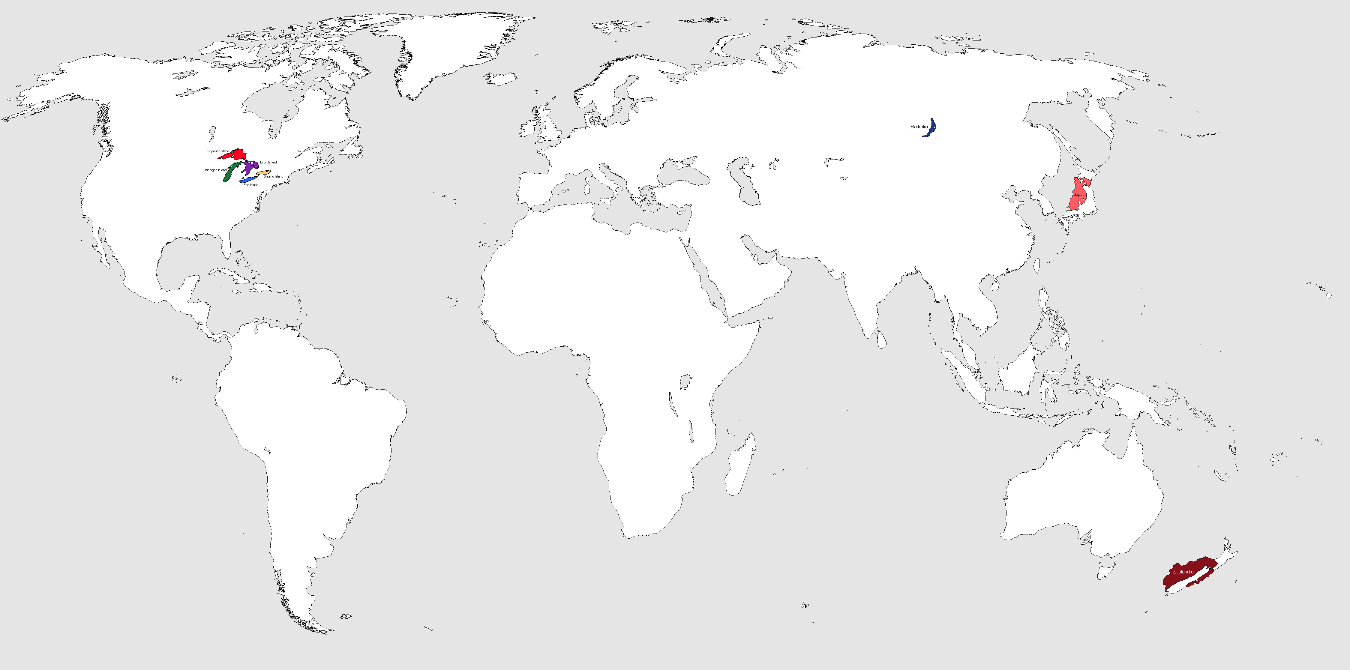 | 4,500 × 2,234 (99 KB) | Jurta (talk | contribs) | ||
| 16:19, 4 February 2023 | 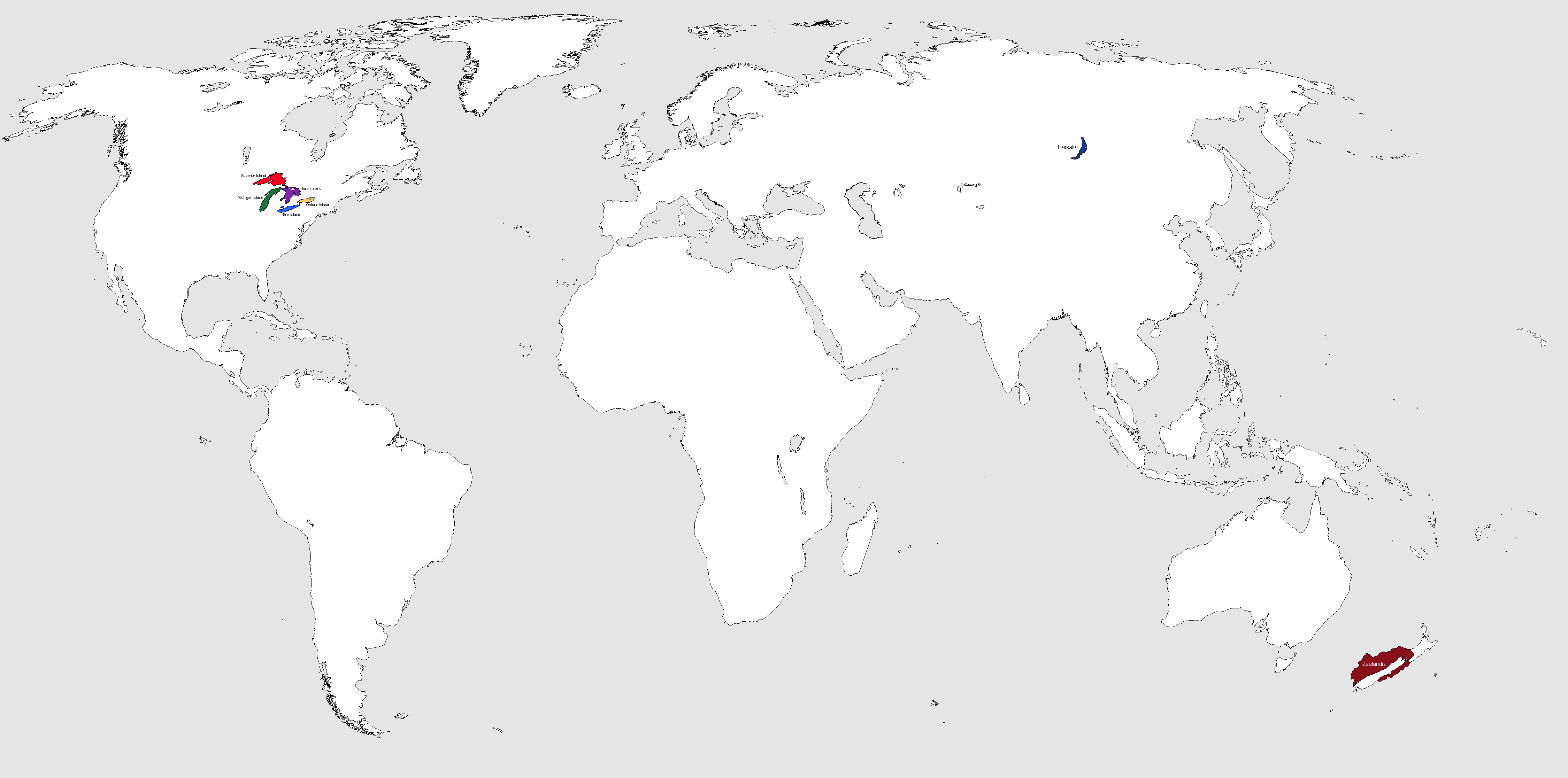 | 4,500 × 2,234 (98 KB) | Jurta (talk | contribs) | ||
| 16:07, 4 February 2023 |  | 4,500 × 2,234 (99 KB) | Jurta (talk | contribs) | ||
| 15:54, 4 February 2023 | 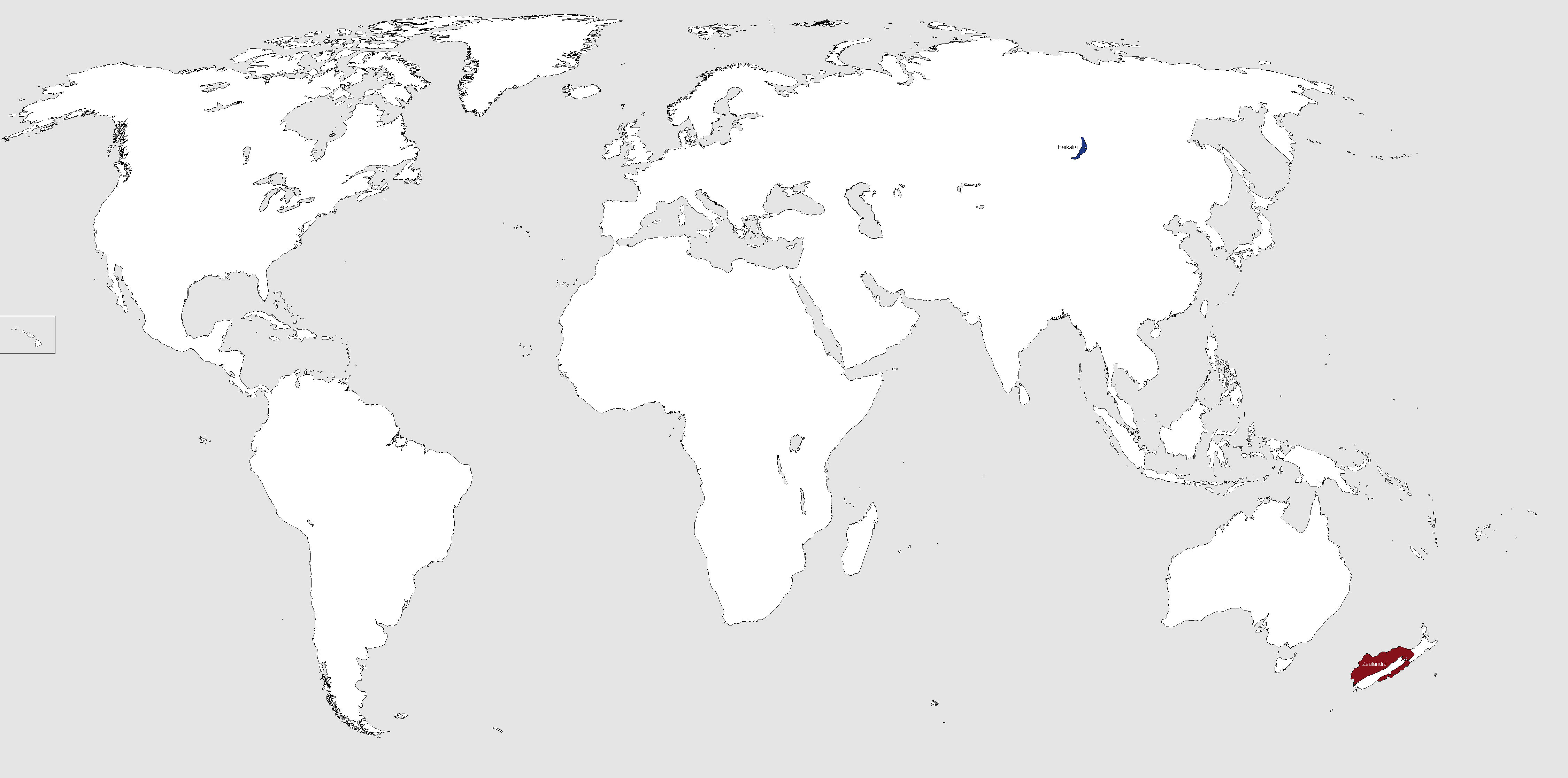 | 4,500 × 2,234 (98 KB) | Jurta (talk | contribs) | that's two! | |
| 15:44, 4 February 2023 |  | 4,500 × 2,234 (88 KB) | Jurta (talk | contribs) | i think it'd be easier to plot countries down on a map as to prevent any overlapping territory :3c |
You cannot overwrite this file.
File usage
The following page uses this file: